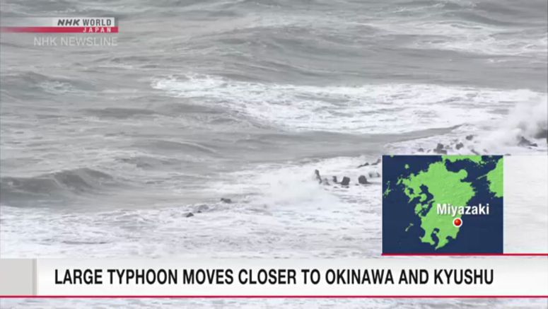
Typhoon Nanmadol Moves Closer To Okinawa And Kyushu

Japanese weather officials say large and powerful Typhoon Nanmadol is expected to track close to Okinawa Prefecture, the Amami region of Kagoshima Prefecture and the southern Kyushu region from Friday through Saturday.
The storm may also affect eastern and northern Japan from Saturday through Monday.
The Meteorological Agency said Nanmadol was traveling west over the Pacific Ocean south of Japan at 15 kilometers per hour as of 3 a.m. on Friday.
The typhoon had a central atmospheric pressure of 965 hectopascals and winds of up to 126 kilometers per hour near its center. Gusts were reaching over 90 kilometers per hour within a radius of 150 kilometers.
The Amami region is forecast to have maximum winds of 108 kilometers per hour through Saturday, while winds of up to 90 kilometers per hour are expected in Okinawa and southern Kyushu.
Winds are likely to get even stronger on Sunday.
Seas will also be very rough around southern Kyushu, Okinawa and Amami, with 10 meter-high waves expected on Saturday.
Rainfall in the 24-hour period through Saturday morning could reach 120 millimeters in Okinawa and 100 millimeters in southern Kyushu.
The storm may bring heavy rain primarily to western Japan as it approaches the region.
Weather officials are urging caution against wind gusts and high waves, as well as landslides, flooding and swollen rivers.