Chanthu Set To Make Landfall In Northern Kyushu

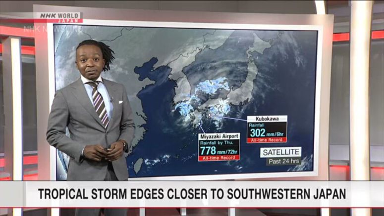
Japanese weather officials say Severe Tropical Storm Chanthu is poised to make landfall in northern Kyushu on Friday evening or later. The storm is then likely to barrel east over the Shikoku and Kinki regions.
The Meteorological Agency says that as of 2 p.m. Friday, Chanthu was about 50 kilometers off Hirado City, Nagasaki Prefecture, heading east-northeast at 20 kilometers per hour.
The storm has a central atmospheric pressure of 990 hectopascals, packing sustained winds of up to 90 kilometers near its center and maximum gusts of 126 kilometers per hour.
Heavy rain is already hitting Kyushu and Shikoku. Winds are intensifying in western Japan.
Officials warn that rainclouds may quickly develop in areas away from Chanthu due in an influx of warm, moist air. Extremely heavy rain may hit mainly western Japan.
Maximum rainfall in the 24 hours through noon on Saturday will reach 300 millimeters in Shikoku and 250 millimeters in the Tokai region, central Japan.
Officials warn that precipitation may increase even in areas that normally receive little rain, such as parts of Shikoku along the Seto inland sea and the northeastern region of Tohoku.