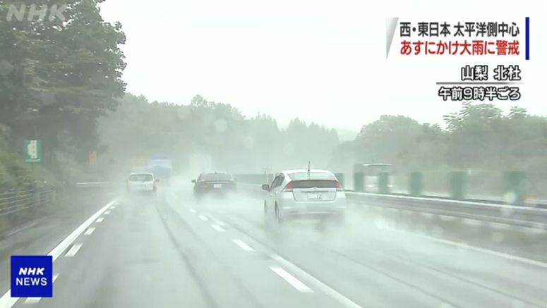
Heavy Rain Forecast For Pacific Coastal Areas

Weather officials say a seasonal rain front is bringing downpours to wide areas of eastern and western Japan.
The Meteorological Agency says the heavy rain is being caused by an inflow of warm, damp air toward the front located south of the main island of Honshu.
The agency forecasts that the rain front will move north and bring heavy rain accompanied by thunder and lightning in eastern, western and southwestern Japan, mainly along the Pacific coast, through Saturday morning. They say localized hourly precipitation of more than 50 millimeters is possible in some areas.
Through Saturday morning, the officials forecast up to 200 millimeters of rain in the Tokai region, 150 millimeters in the Kanto-Koshin and Kansai regions, and 120 millimeters in southern Kyushu.
In the 24 hours to Sunday noon, 100 to 150 millimeters of rain is forecast for the Tokai, Kansai and Hokuriku regions, and 50 to 100 millimeters for the Kanto-Koshin region and southern Kyushu.
The officials say the total rainfall since Wednesday at Niijima airport in the Izu island chain had reached 388.5 millimeters as of 11:00 a.m. on Friday. That's 1.8 times the usual amount for the entire month of July.
Mudslide warnings have been issued for some parts of Shizuoka Prefecture and the Izu island chain.
The agency is urging caution for landslides, flooding in low-lying areas, swollen rivers, lightning strikes and tornadoes.