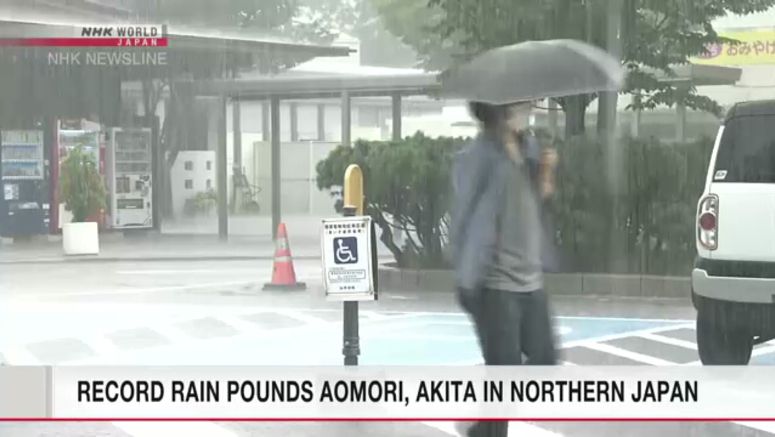
More Heavy Rain Expected In Northern Tohoku Region

Weather officials say parts of the Tohoku region in northern Japan that have been lashed by record rain in recent days are likely to get more wild downpours Thursday night through Friday.
They're urging residents of Aomori and Akita prefectures to prepare for the risk of mudslides and flooding rivers.
The Meteorological Agency says the extreme rain is the result of warm, moist air that's flowing toward a front lingering across northern Japan.
Intermittent downpours between Monday and 6 p.m. Thursday dumped a total of 374 millimeters of rain on Fukaura Town, Aomori Prefecture, and 261 millimeters on Happo Town in Akita Prefecture. Both amounts are more than the average for the entire month of August.
Authorities have issued mudslide alerts for some parts of Aomori and neighboring Iwate prefectures.
The weather agency says a low pressure system moving across northern Japan, along the front line, will trigger another burst of torrential rain from Thursday evening to Friday.
Some areas in the north of Tohoku in particular could get more than 50 millimeters per hour, and in severe cases, more than 80 millimeters.
Weather officials say that because the region has already had heavy rain in recent days, another downpour could drastically increase the risk of mudslides and flooding.
They say the front will linger over northern Japan for another week, although it may weaken temporarily on Sunday.
The weather agency also says a tropical depression located south of Japan will develop into a tropical storm within 24 hours as it moves north.
The storm is expected to approach the Pacific side of eastern Japan on Saturday. It will produce strong winds and big swells, and possibly dump torrential rain over the region.
The agency is urging people in eastern Japan to be prepared for the risk of mudslides, flooding of low-lying land and swollen rivers, and rough seas.