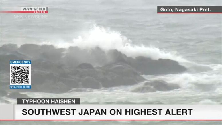
Typhoon Haishen Rages Toward Japan's Southwest

A large and very strong typhoon is moving northward, engulfing the southern main island of Kyushu. Officials are warning of strong winds, high tides, large ocean swells and torrential rain.
Weather officials say that at 3 a.m. on Monday, Typhoon Haishen was 30 kilometers northeast of Goto City, Nagasaki Prefecture. They say it was moving north at 30 kilometers per hour.
Haishen has a central atmospheric pressure of 945 hectopascals. The typhoon is packing maximum winds of 162 kilometers per hour near its center -- and gusts of up to 216 kilometers per hour.
Authorities are calling on people in affected areas to stay on the highest alert.
The storm is now causing strong winds in Kyushu.
Gusts of over 210 kilometers per hour were observed around 2 a.m. on Monday in Nomozaki, Nagasaki City. That's the strongest ever recorded there.
As the typhoon approaches northern Kyushu, winds strong enough to overturn trucks have been forecast through Monday morning.
Heavy rain is falling in southern Kyushu. More than 500 millimeters of rain fell over a 24-hour period in Miyazaki Prefecture. That's more than the average rainfall for the entire month of September.
A mudslide warning has been issued for the prefectures of Nagasaki, Miyazaki, Kumamoto and Tokushima.
Some rivers in the prefectures of Nagasaki and Miyazaki are at risk of overflowing.
All seven prefectures on Kyushu island had issued evacuation orders to local residents as of 10:30 p.m. on Sunday. The orders apply to more than 1.8 million people.
Seventeen people have so far been injured in Kyushu.
About 580 domestic flights are set to be canceled on Monday. These include flights to and from the Shikoku and Chugoku regions, as well as Kyushu.
The operator of the Kyushu Shinkansen line says all trains will be canceled on Monday. Trains of the Sanyo Shinkansen line between Hakata and Hiroshima will also be canceled.


