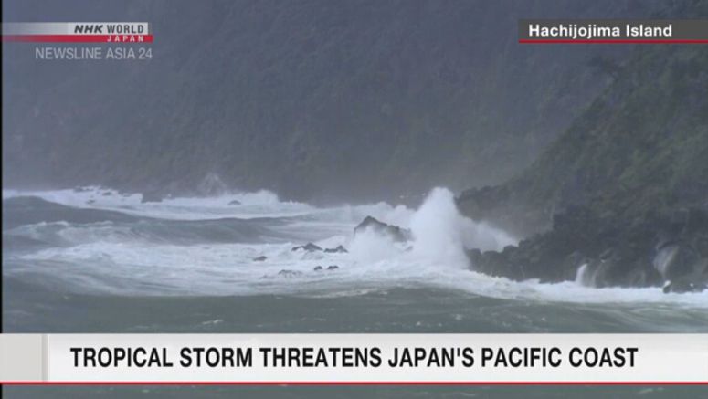
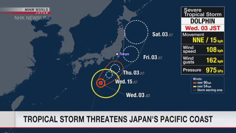
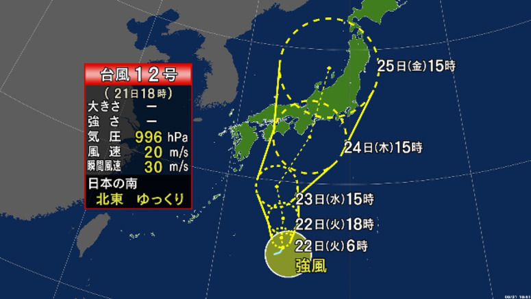
Sts Dolphin Is Heading Toward Eastern Japan
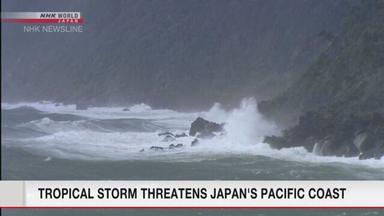
Severe Tropical Storm Dolphin is heading toward Japan and could bring downpours to the eastern part of the country through Friday.
Weather officials are urging people to stay on alert for possible mudslides and flooding in low-lying areas, as well as thunderstorms, tornadoes and hailstorms.
- Published in News
- Read more...