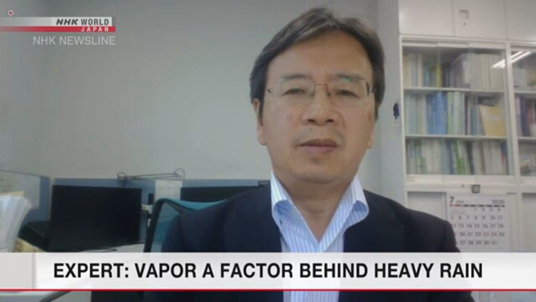
Expert Looks At Vapor As Factor Behind Heavy Rains

An expert says almost the same amount of water vapor may have flowed into a rain front when record rainfall hit Kyushu earlier this month as when a rain disaster devastated western Japan in 2018.
Professor Tsuboki Kazuhisa of Nagoya University estimated how much vapor flowed into the stationary rain front using data from the Meteorological Agency.
He found that, when record rains fell in Kumamoto Prefecture on July 4, 500,000 to 600,000 tons per second of vapor were flowing into the front from the Indian Ocean and the South China Sea.
He believes that's equivalent to the amount that contributed to the 2018 disaster.
Tsuboki also explained why the front has stayed around Japan for such a long time.
He said a high-pressure system grows stronger over the Pacific south of the country around this time of year. He explained that this year the high-pressure system over the Pacific is too weak to push the seasonal rain front away from the Japanese archipelago.
Tsuboki called on people to stay on alert due to heavy rains. He said water vapor will continue flowing into the front that will likely stay where it is for the time being.


